

The new school year and the end of summer are just around the corner as we wrap up the month of August.
If the back-to-school gear at your local stores as well as advertisements on television weren’t enough of a reminder of the upcoming change in seasons, the latest forecast across the Canadian Rockies will be.
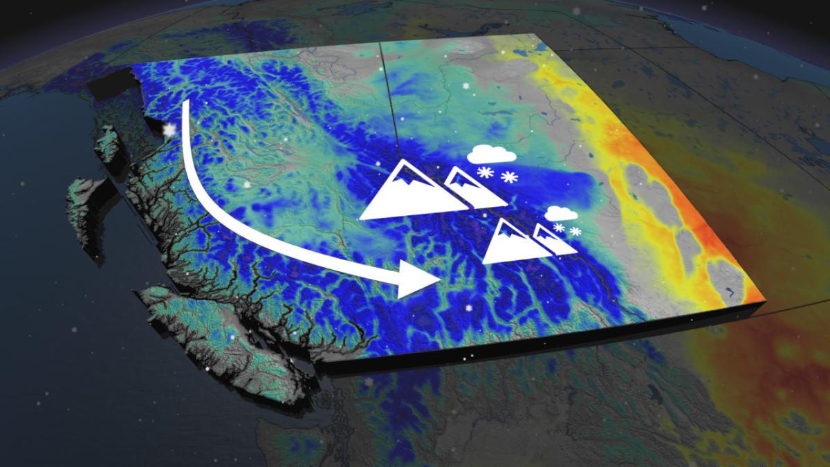
Not only will the Rocky Mountains be seeing flakes fly this week, so will British Columbia’s numerous mountains.
A mass of cooler, unsettled air will descend over Western Canada on Tuesday, causing alpine freezing levels to fall under 2000 metres.

Temperatures across the region will also drop between five and ten degrees below seasonal.
SEE ALSO: Uncertainty looms for Jasper’s tourism operators as many assess the damage
As residents continue their return to Jasper, Alta., the thermometer will be hovering at a chilly 11°C—9 degrees below the seasonal average.
The fall-like trend in temperatures carries over to the other side of the Rockies, as temperatures in Kamloops, B.C., are forecast to reach 17°C on Tuesday—also 9 degrees below seasonal for this time of year.
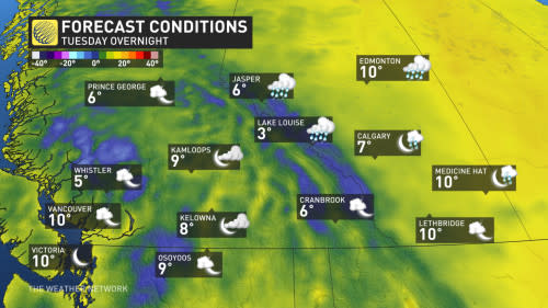

Tuesday overnight will see lows in the single digits throughout the mountain valleys.
Tuesday’s cooldown will also be accompanied by precipitation.
Rain is expected to drop over the region throughout the day on Tuesday, but it won’t be until after the sun sets that the snowflakes will be dancing down from the sky.
DON’T MISS: Jasper National Park remains closed indefinitely, re-entry limited to residents
Mountain peaks above 2000 metres, including B.C.’s coastal mountains, Columbia Mountains, and Rocky Mountains, are forecast to get a healthy dose of snow overnight.
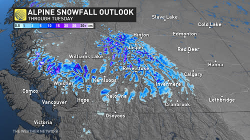

Accumulations may even be enough for folks to wake up to see white snowcaps on the mountains early Wednesday morning.
Moving forward through the week, temperatures will steadily climb back up to seasonal, and drier conditions will take over.
Stay with The Weather Network for more forecast information and updates on your weather across Western Canada.